Project Overview
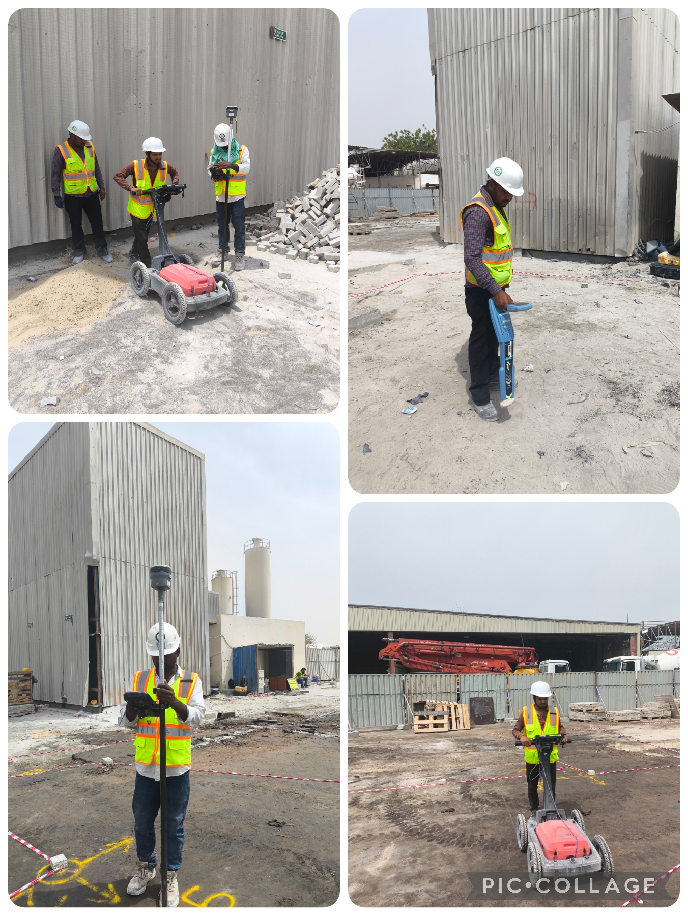
Accurate knowledge of underground infrastructure is essential before carrying out excavation, maintenance, or expansion work at any industrial facility. Our team recently completed a comprehensive Underground Utility Survey at a cement factory to help the client safely identify and map existing buried services.
Project Objectives
The survey was carried out with the following objectives:
- Detect and map the locations of existing underground utilities.
- Determine the depth of buried services.
- Assess the condition of underground infrastructure where possible.
- Support safe excavation and future maintenance activities.
Survey Methodology
The survey was conducted using a combination of Ground Penetrating Radar (GPR) and Electromagnetic Cable & Pipe Detectors to accurately locate and identify underground utilities.
GPR was used to detect both metallic and non-metallic underground features, including plastic pipelines, ducts, and buried structures, while also providing depth information. Electromagnetic cable and pipe detectors were used to trace conductive utilities such as electrical cables, communication lines, and metallic pipelines with high accuracy.
All identified utilities were traced, marked on site, and documented to produce a comprehensive underground utility map for the client, supporting informed planning and reducing excavation risks.
Project Benefits
The completed survey provided the client with reliable underground utility information to support future site activities.
- Improved planning for excavation and construction works.
- Reduced risk of damaging buried utilities.
- Enhanced maintenance and asset management.
- Minimized operational downtime and unexpected repair costs.
- Improved safety across the facility.
This project demonstrates how the combined use of GPR and electromagnetic utility locating technology delivers accurate underground utility mapping, helping industrial facilities carry out excavation and maintenance work safely and efficiently.